Beginners Guide to ArcGIS Online

In this modern world, almost everything is going online. In this page, you will find some essential or basic tutorial for ArcGIS Online. ArcGIS Online is a great piece of cloud service where we can manage, manipulate and distribute our GIS dataset with the world. ArcGIS is now affordable for both personal and organization. The ArcGIS Personal Edition includes access to ArcGIS Online. You can learn more about ArcGIS for Personal Use to get started.
What is ArcGIS Online
Before we go through the tutorials, I would like to give a short introduction to ArcGIS Online. Most traditional software requires software installation on your local computer. ArcGIS Online eliminates this requirement. All you need is a web browser such as Google Chrome, an ESRI account, and some spatial datasets. Off course, a good internet connection is required. You can upload and display your spatial data using the Google Chrome

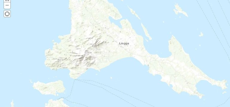
ArcGIS provides some standard basemaps you can use straight away. For example, you can choose the OpenStreetMaps, Satellite Imagery, World Topographic Map and some others. We will discuss them later.
Another great thing about this online service is that we can upload our own spatial datasets such as shapefiles and then display them in the online map. We can then share our maps with other people easily.
Login to ArcGIS Online
After you purchase the ArcGIS for Personal Use, you can start using the ArcGIS Online by logging in to the portal.
Create a New Map Using ArcGIS Online. Jump to this article to find out how quickly you can do to create a new map using ArcGIS Online.
Note:
This page is still in progress and will be updated regularly. Please kindly subscribed to this website if you want to learn more about ArcGIS Online and ArcGIS Pro.
