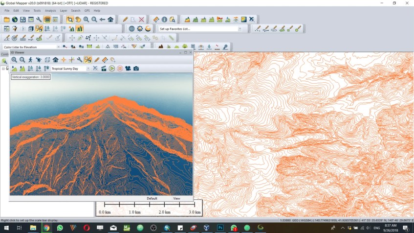
The new version of Bluemarble Global Mapper 20 is here with so many interesting features. Global Mapper is a powerful GIS tool that supports more than 200 GIS formats, online data as well as spatial databases supports. I just installed the new Global Mapper 20 full version and want to share some great things here with you. You may want to download and evaluate Global Mapper 20 and try it on your PC. I also have a special category on this blog that covers Global Mapper, check this out.
What’s New on Global Mapper 20
While the user interface is pretty much the same as the previous Global Mapper 19, this new GM 20 comes with the following new features:
- A new tool for creating a 3D point cloud from a mesh or 3D model
- Flight mode for navigating in 3D
- Eyedropper tool for selecting a color directly from a raster image in the map view
- Dramatic speed improvements for the load time of many vector formats such as shapefiles
- Expanded support for Windows Tablet and touchscreen computers
- New Map Layout options including legend filtering and creating a map book from selected features
- Improvements to Vector display in 3D including smoothness of movement on large datasets
- Streamlined licensing process
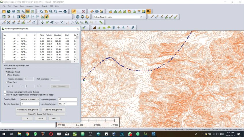
New Fly Through Tool
I don’t think I will use this tool much but it is a great tool to have on Global Mapper. With this Fly Through tool, we can generate a custom path and then generate fly-through data based on the line we draw.
New Pixels to Point Tool
I used to work with the 3D point cloud, orthomozaic imagery, and drone mapping. With this new tool in Global Mapper 20, we can easily import drone images and then analyze them in GM,
This will improve the workflow to create 3D point cloud as well as create the Orthoimage. This tool also can be used to create 3D Mesh. It still Beta but it’s pretty usable.
There are many features I want to explore more on this version 20. During my test, I was still unable to export vector files to MySQL spatial database. I always got the following error every time I try to export vector layer to MySQL database. It works fine with PostgreSQL and SQL Server though.
How Much Does The Global Mapper 20 Full Version Cost?
If you decide to purchase the new Global Mapper, you will need to pay for $549. This does not include the LiDAR module which cost the same as $549. For more information, please visit this page.


[…] MapperGlobal Mapper is a GIS software developed by Blue Marble Geographics. It offers a range of features for data […]