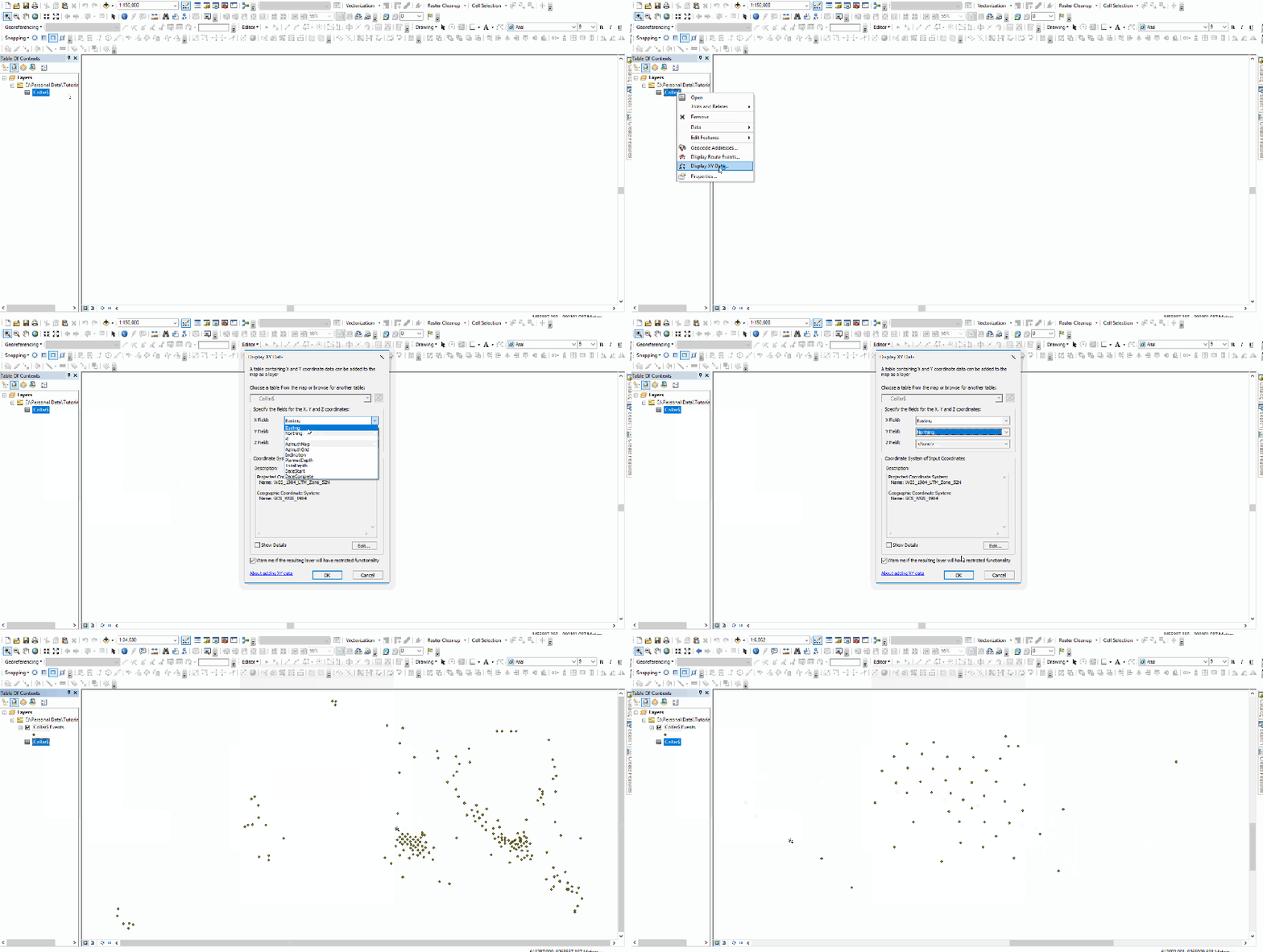
Welcome to another ArcGIS Tutorial. Today, I am going to show you how to open an Excel file on ArcGIS 10.6. ArcGIS supports various file formats including Microsoft Excel (.xls, .xlsx). This kind of file can be easily opened in ArcGIS. If you have coordinates information in the Excel file, we can then plot the XY coordinate in ArcGIS.
What you will learn:
- Load Microsoft Excel file to ArcGIS
- Display XY data on ArcGIS
Open Excel file on ArcGIS 10.6
To open an Excel file, please follow these steps.

The step above will only open the Excel file on ArcGIS. It does not automatically plot or display the geographical information on the map. To display the XY points, you can follow these steps.

Pretty easy right?
Thanks for reading this tutorial and see you on the next ArcGIS Tutorial. Cheers.
