
Hello everyone, welcome to my GIS Tutorial website. In this article, we are going to show you how to create a surface grid from points in MapInfo Professional. In order to use the surface grid feature, you must have Encom Discover installed on your system. A standalone MapInfo does not have this feature.
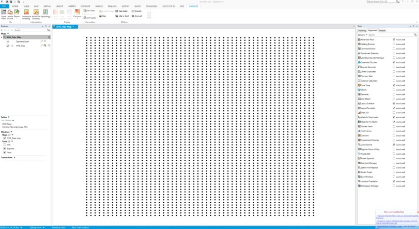
Basically we are going to turn this points table
Into a nice surface grid as follow
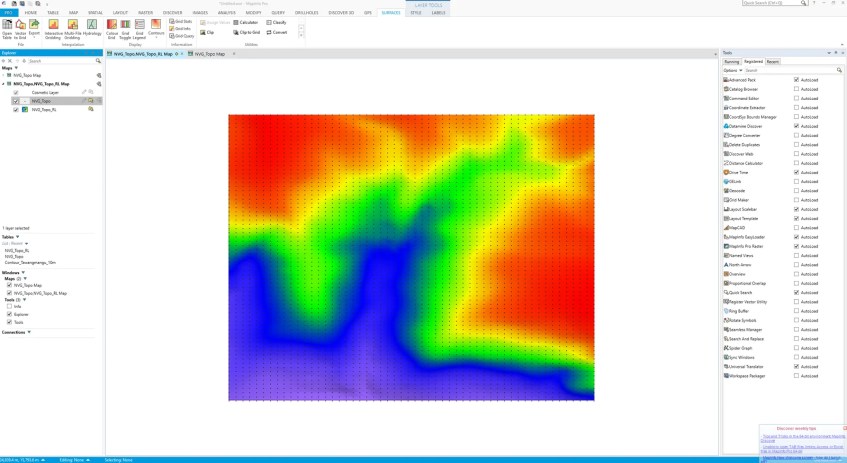
This surface grid is a useful feature to analyze set of data (points or vector) and display them in a colorful image/grid. Before we can do this, make sure we have enough data. And, make sure our data has a column containing Z information such as geochemistry, elevation or any other data.
In this example, I am using a topography survey points. Each points have X, Y and Z (elevation) column. So let’s do it.
- Open Mapinfo Pro
- Open the point table containing Z information
- Go to Surface >> Interactive Gridding
- Select the table
- Specify the input table and field used for calculation
- Choose the method, geometry and output format
- Click Save
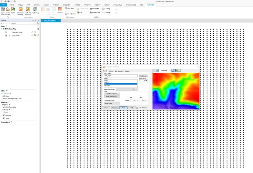
In a moment, your surface grid should be ready. You can also modify the grid style such as color,
[…] Create an elevation grid on Mapinfo Pro […]
[…] might find some articles related to the surface grid. For example, in this article, you will learn how to create a surface grid from a point layer. But this time, we will reverse the step. We will get or assign the elevation to a point layer from […]