
Geographic Information Systems (GIS) software is used by professionals to manage, analyze and display geographical data. GIS software can be used for a wide range of applications, from environmental monitoring to urban planning. In this…

Pyodbc is a Python module that allows programmers to connect to various database management systems using an ODBC (Open Database Connectivity) driver. The module provides a simple yet effective interface to access and manipulate data…
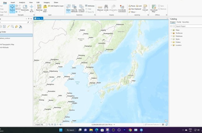
In this short article, we will show you how to replace text/string in a Text column in ArcGIS Pro. There are several ways to do this but in this example, we will use the Calculate…

Geophysical data processing is an important aspect of mineral, oil and gas, and groundwater exploration. It involves processing and interpreting data collected from various sources, such as seismics, magnetics, gravity, and electromagnetic data. Choosing the…