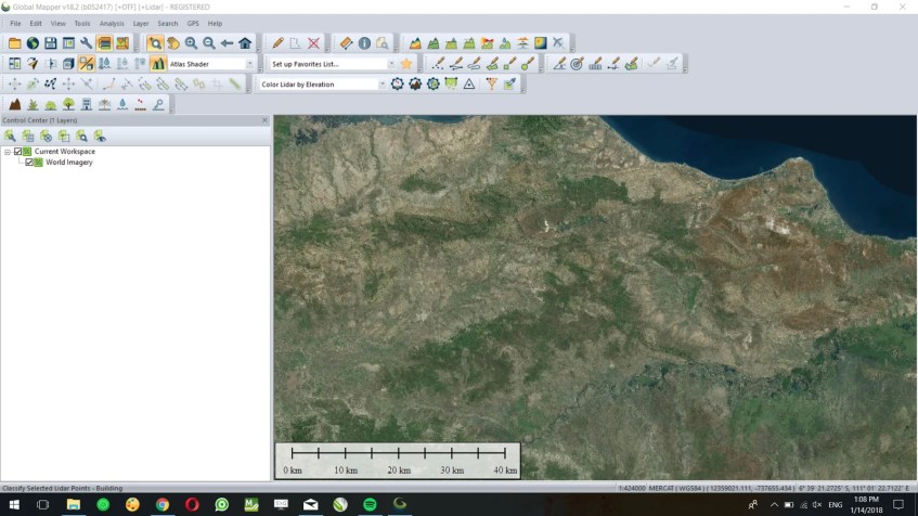
Global Mapper is a complete GIS software. One of my favorite features is the ability to open and download online data source. For example, we can easily load the World Imagery to Global Mapper. This tutorial is going to show you how to open online World Imagery on Global Mapper. It’s a useful feature when you need to create maps with world imager as the background. Google Earth is a great example of the free online world imagery. But, unfortunately, Google Earth is not well connected to Global Mapper. On my previous tutorial, you can see how to open Online SRTM data on Global Mapper.
Steps to Open Online World Imagery on Global Mapper
Open Global Mapper and then go to File | Download Online Imagery, Topo, Terrain Maps.
Select World Imager from the list and then press Connect. Please make sure that you are connected to the internet. In few moments, you will see the world image shown on Global Mapper. You can then zoom to your desired location, add more objects to it etc.
That’s it. Thanks for reading this post. We’ll see you in the next tutorial.


