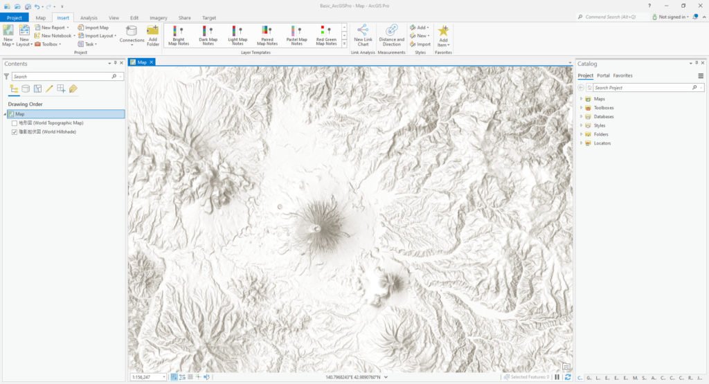
The coordinate system is a very important part of a map. It defines how the objects inside the map are plotted. There are so many coordinate systems available. For more information about Coordinate System, please visit this Wikipedia link. In this article, we will learn how we define or change the coordinate system of a Map. When we created a new ArcGIS Pro project, we should change or define the coordinate system in the first place. By doing this, every feature or spatial data that we add to the project will be projected into the Map coordinate system.

Steps to Change Coordinate System of a Map in ArcGIS Pro
Please follow these steps to change the map coordinate system
- Open ArcGIS Pro
- Create a New Project or open the existing one
- Double click Map or right-click and choose Properties
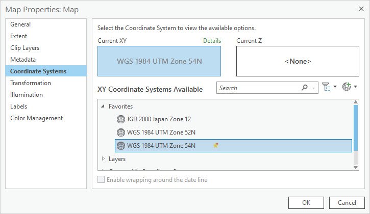
- On the Map Properties window, click Coordinate Systems
- Choose the correct coodinate system from the list
- Click OK

When you click OK, the Map will be projected to the coordinate system that you choose. So everything inside the map will also be projected to the new coordinate system.
That’s it. I hope you enjoy this short tutorial. Thank you.

