
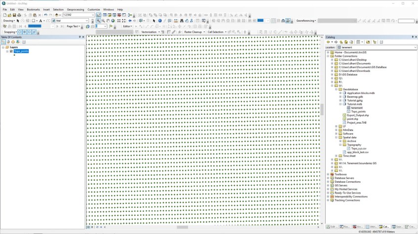
Hello everyone, welcome to my ArcGIS Tutorial for Beginners. In this article, we will learn how to create a point feature class from a CSV (Comma Delimited) file. At the end of this tutorial, you will be able to visualize your CSV data into points in ArcMap. First thing first, we will need a CSV file that contains X and Y coordinates. ArcMap will display this information into a graphical point layer like this one.
In order to create an XY point layer from the CSV file, make sure the data is clean and has all the needed information (X, Y coordinate). You can have the Z information but it is not mandatory.

How to Create XY Feature Class from CSV File on ArcGIS
Open ArcMap and then right-click the CSV file and then choose Create Feature Class >> From XY Table.

On the Create Feature Class window, specify the X field, Y field as well as Z field (optional). And then click Coordinate System of Input Coordinates and choose the correct coordinate system. Next, specify the output file. We can save it as a shapefile or feature class in a geodatabase. When the process is completed, we can open the feature class on ArcMap.
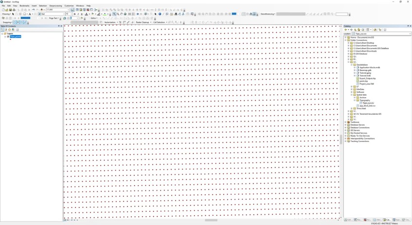
That’s it. Now we have successfully created point feature class from a CSV file using ArcMap. I hope this is useful for you who just started to use ArcGIS.