Category: ArcGIS

In the previous tutorial, I have shown how to create a surface grid using Surfer as well as Micromine. If you have ArcGIS, you can easily create a surface grid using ArcMap. There are many…

Hello everyone, welcome to another GIS tutorial. In this article, I will show you how to export raster or image files to the ESRI Geodatabase file. The ESRI Geodatabase file can store both vector and…

QGIS is a complete GIS Application that supports many data sources both offline and online. In this article, we are going to learn about how to add ArcGIS REST Service in QGIS. ArcGIS REST Service…
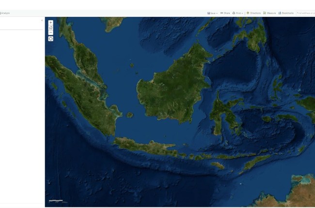
Hello everyone, welcome to ArcGIS Online Tutorial. In this article, we are going to show you how to start creating a new map using ArcGIS Online. As you might know, ArcGIS Online is a great…