
Welcome to QGIS Tutorial. Today we are going to learn how to convert polyline to polygon on QGIS. In some cases, you will need to do some conversion to your vector files. Converting from polyline to polygon and vice versa is a common task on GIS work. In other software such as Mapinfo, we can convert polyline to polygon (region) in the same table. But, in QGIS, we need to save the conversion result in different file.
Steps to convert Polyline to Polygon on QGIS
Open the layer file that you want to convert. Then, go to Vector | Geometry Tools | Line to polygon. It will open a new conversion window.

Select the source layer you want to convert in the input layer. You can also open another layer if you haven’t opened it yet. On the polygon, specify the location of the converted polygon. If you leave it empty, QGIS will create a temporary layer. We can save this temporary layer later.
To start the process, click Run in Background.

Before conversion
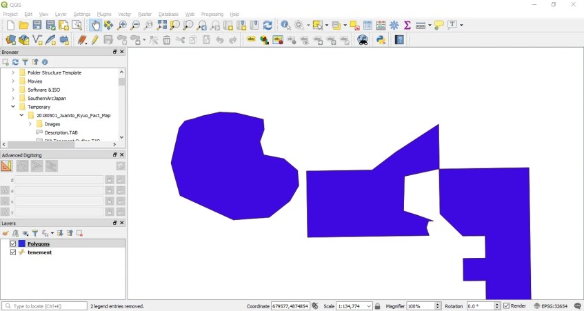
After conversion
It’s pretty easy right?
To convert from polygon to line feature, open the Vector | Geometry Tools | Polygon to line. The steps are pretty much similar.
Thanks for reading this post. See you on the next tutorial.