Hello everyone, welcome to our GIS Tutorial. Today we are going to learn how to georeference image on ArcGIS 10.6. ArcGIS 10.6 is a powerful GIS software that can be use to georeference or register image. If you have scanned map, that does not have geographic information, you will need to georeference them before you can overlay them with any existing data.
First of all, you will need some data that have geographic information opened in ArcMap. You may use any data points, vector or even another georeferenced imagery. Make sure you have at least three control points. This control points must visible or exist in both on the image and the data. We will use these control points to register the image.
Steps to Georeference an Image in ArcGIS 10.6
Step 1. Open your data
First, we need to open our data as a base map. We are going to use this data as a reference to our image. On this example, I use a shapefile which contains road.

On the picture above, I use Road layer for my reference to the image. For better result, make sure you have a clear and complete features as your reference.
Step 2. Open the Image
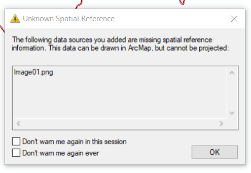
Now open the image we want to georeference. If your image does not have a geographical information, you will see the following error message. Don’t worry it is normal. Press OK to continue.

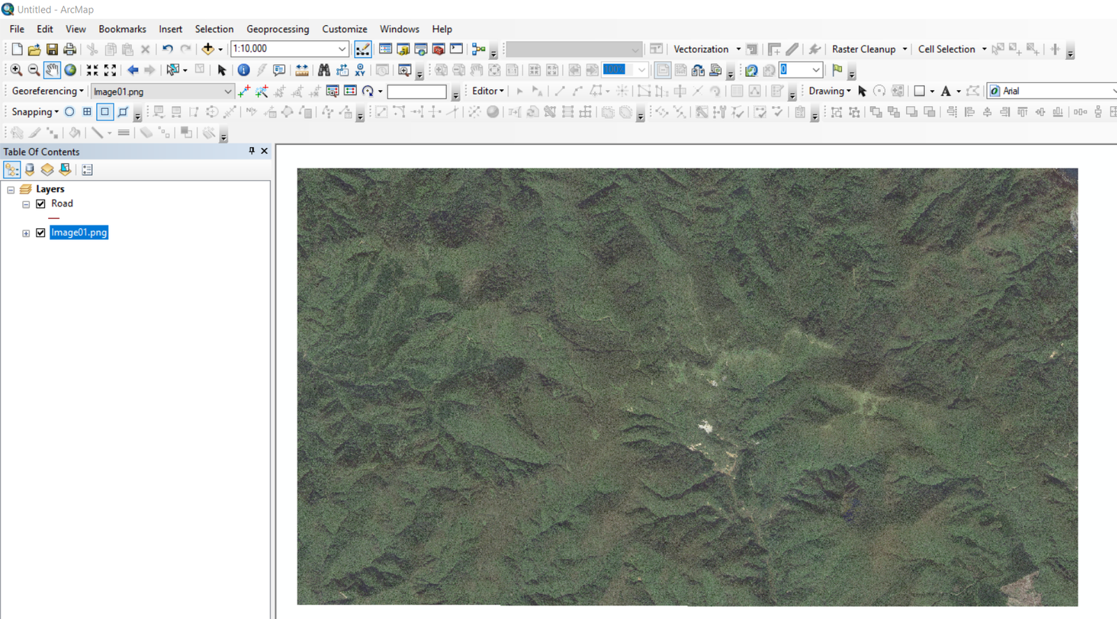
OK, now I have two layers opened. Image and the road as my reference.

Step 3. Start Georeferencing
Before we can start georeferencing, make sure you activate the Georeferencing Toolbar. Go to Customize | Toolbar | Georeferencing.
![]()
Next, select the image from the georeferencing image list. On the example above, my image name is Image01.png. Next, click Add control point button.
![]()
Next click the image and then click the corresponding location on your reference layer. See the following example on how to do it.
Thanks for reading. I wish I could create a better video next time. Cheers


How to Create a New Shapefile on ArcGIS 10.6 | GIS Tutorial
February 10, 2019[…] In the following example, I will create a new shapefile and then digitize an image. First, you may want to have a look at my other tutorial How to georeference an image on ArcGIS. […]