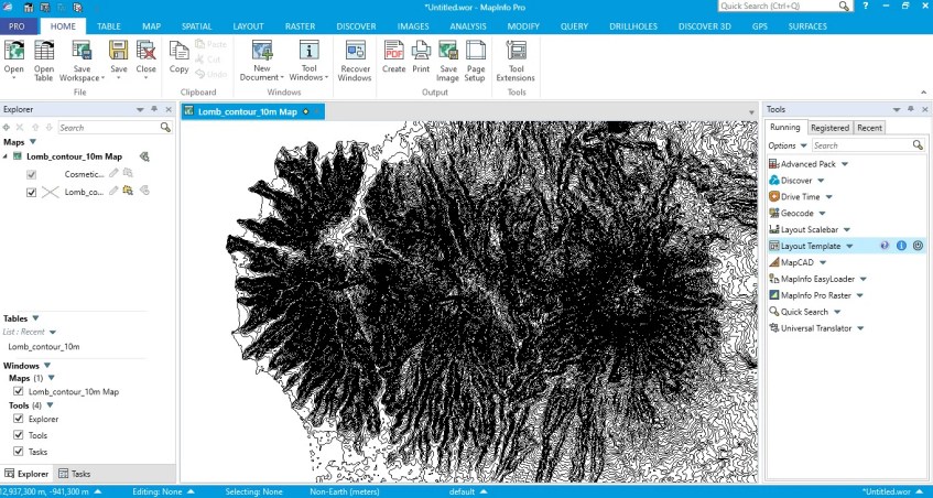
Hello everyone, welcome to my Mapinfo Tutorial for Beginners series. In this article, we are going to discuss about the Raster function in Mapinfo pro. If you are using Mapinfo Pro 64 bit edition (bundle with Discover), you will notice the Raster menu. In the Raster menu, there are some raster tools that is very useful to create, edit and convert raster. In this article, I will show you how to create a raster image from a contour file.

The new Mapinfo Pro has a better performance when handling a large raster dataset. Before we go through, you may want to download the contour file used in this tutorial.
Steps to Create Raster from a Contour File in Mapinfo Pro
First, open the contour file. Make sure that the contour file has an elevation column in the attribute file. We are going to use this column for calculation. There are many ways to obtain a contour file. For example, in this tutorial, I am using Global Mapper to generate contour from SRTM online source. If you don’t have Global Mapper software, you can use QGIS to generate contour from SRTM.

Now, go to Raster >> Create Raster >> Triangulation. It will open the Create Raster window settings. We need to specify some settings on this page. As you can see, I choose triangulation method and elevation column.

Click Process to start the triangulation process. In few moments, the raster should be loaded on the map window

You can modify the raster color, the hillshade settings. You can also export the raster file to other formats such as ASCII or ESRI ASCII grid file.
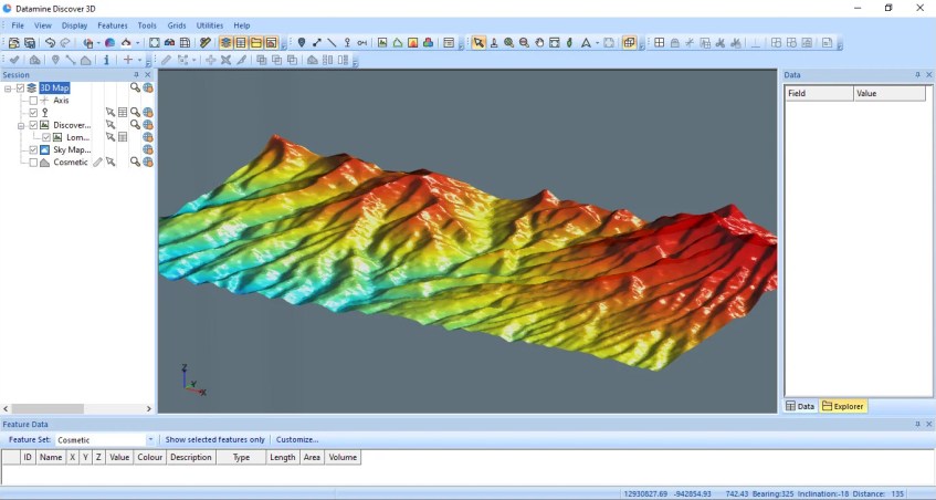
By creating this kind of raster, we can then import or open this raster file in Mapinfo 3D window. I hope next time I can make another tutorial how to do this 3D visualization in Mapinfo Pro.

That’s it for now. I hope you enjoy the tutorial. Leave me comments if you have any question about how to create raster from contour file in Mapinfo Pro. Cheers

[…] information about DEM, please read this Wiki page. DEM can be generated from many sources. We can produce DEM from a contour file, or we can also create it from the survey […]