MySQL Spatial database is an alternative to MS SQL Server Spatial Database or PostGIS. You can use your MySQL database to store spatial tables that can be used on various GIS software. This article will show you how to export a shapefile to MySQL Spatial Database using Global Mapper. Why Global Mapper? You may ask this question. Well, there is a free tool, ogr2ogr which allows us to export shapefiles to MySQL or PostGIS via command line. But, it requires a command line experiences. Global Mapper is a great GIS software that comes with support to various GIS formats as well as spatial databases.
Steps to Export Shapefile to MySQL Spatial Database Using Global Mapper
Step 1. Create a new Spatial Database Connection
Read this post that will guide you to create a new spatial database connection on Global Mapper.
Step 2. Open the Shapefile
Open the shapefile in Global Mapper.
Step 3. Export the Shapefile
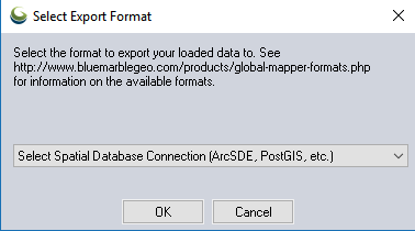
Go to File | Export | Export Vector Spatial Database. And then select the Export format. In this case, Select ArcSDE, PostGIS etc as shown below.
Next, select the connection. If you don’t have it yet, create a new one.
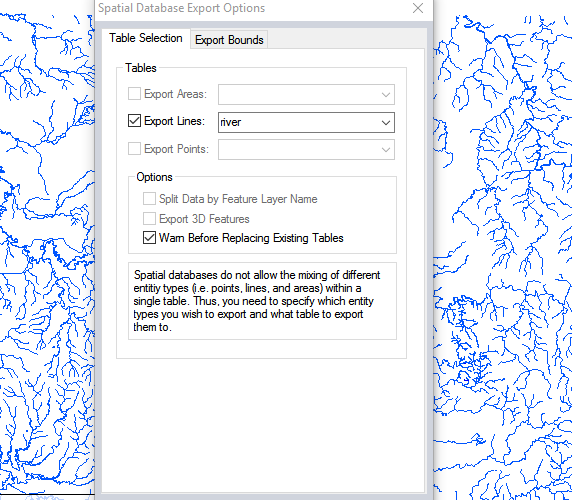
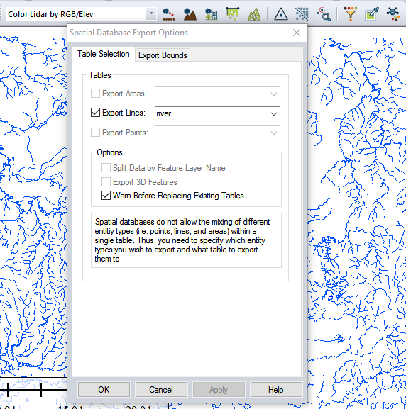
Finally, give a new name for the layer.
Click OK and the export process will begin.


