GIS Tutorial
  • Home
  • About
  • Contact

Popular Posts

How to open Mapinfo TAB file on QGIS
QGIS,

How to open Mapinfo TAB file on QGIS

by adminJanuary 1, 20181 comment
How to Export Layer to Shapefile on QGIS
QGIS,

How to Export Layer to Shapefile on QGIS

by adminSeptember 21, 2018no comment
How to Create a GeoPackage on QGIS 3.2
QGIS,

How to Create a GeoPackage on QGIS 3.2

by adminJuly 25, 2018no comment
How to convert polyline to polygon on QGIS 3.0
QGIS,

How to convert polyline to polygon on QGIS 3.0

by adminJune 12, 2018no comment

Category List

  • ArcGIS (83)
  • Database (58)
  • Free Spatial Data (2)
  • General (6)
  • Geoserver (2)
  • GIS Software (23)
  • Global Mapper (20)
  • Leapfrog Geo (16)
  • Linux (9)
  • macOS (2)
  • Mapinfo (40)
  • Micromine (32)
  • Oracle (6)
  • Programming (8)
  • QGIS (105)
  • Software Review (2)
  • Surfer (2)
  • Uncategorized (6)

Follow Us

Instagram

Instagram has returned invalid data.
GIS Tutorial
  • Home
  • About
  • Contact

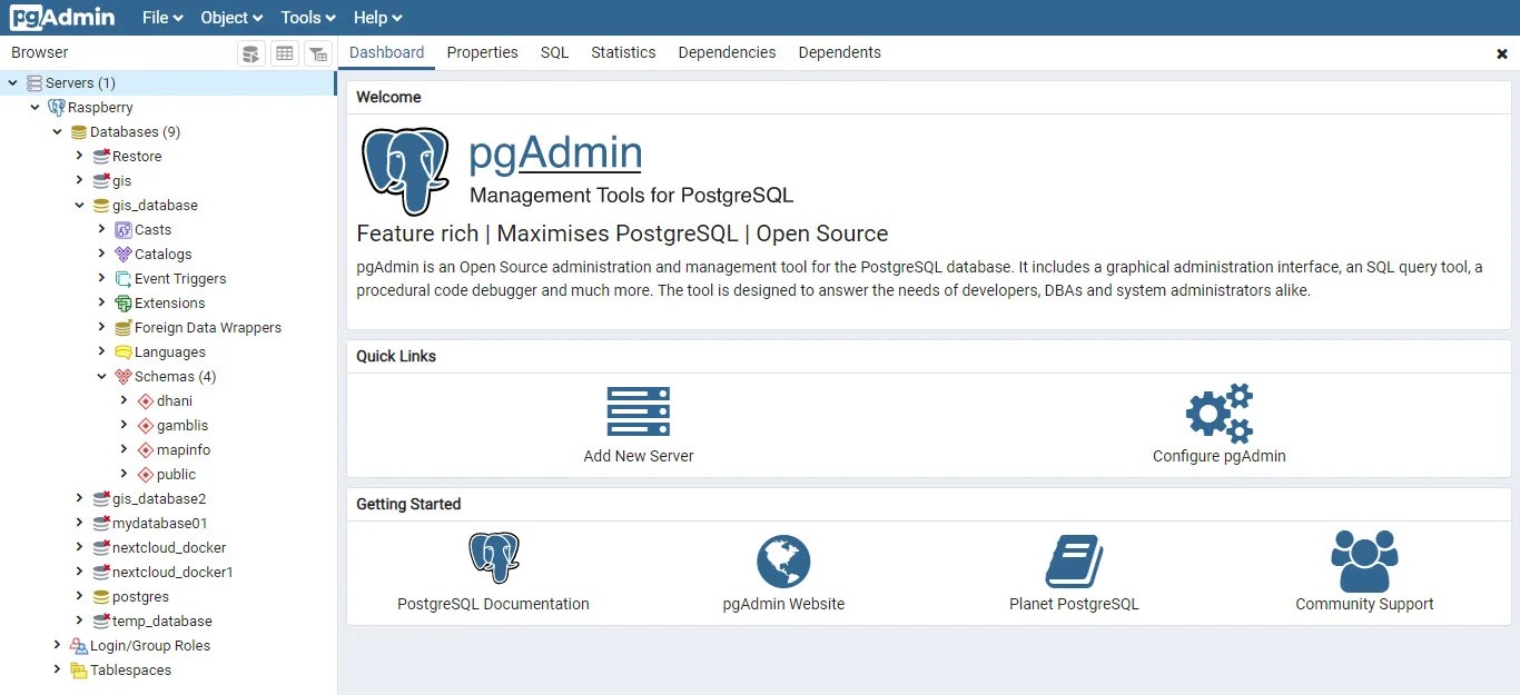
pgadmin-web-interface

by adminJanuary 26, 2020no comment
0
Shares
Share on FacebookShare on Twitter

Leave a Reply Cancel reply

This site uses Akismet to reduce spam. Learn how your comment data is processed.

Trending

  • How to Install Microsoft SQL Server Driver for Tableau in Apple Silicon Mac

    How to Install Microsoft SQL Server Driver for Tableau in Apple Silicon Mac

    9 hours ago
  • Step by Step Installing Oracle Spatial Studio on Windows Server 2022

    Step by Step Installing Oracle Spatial Studio on Windows Server 2022

    1 month ago
  • Install GeoServer on Windows 11

    Install GeoServer on Windows 11

    2 months ago
  • How Enable GeoRaster Support on Oracle Database Schema

    How Enable GeoRaster Support on Oracle Database Schema

    2 months ago

Ads


Ads


Pages