
I am currently working on a project that requires me to generate or extract points from polygons. In this article, I am going to share with you how we extract points from polygon in MapInfo…
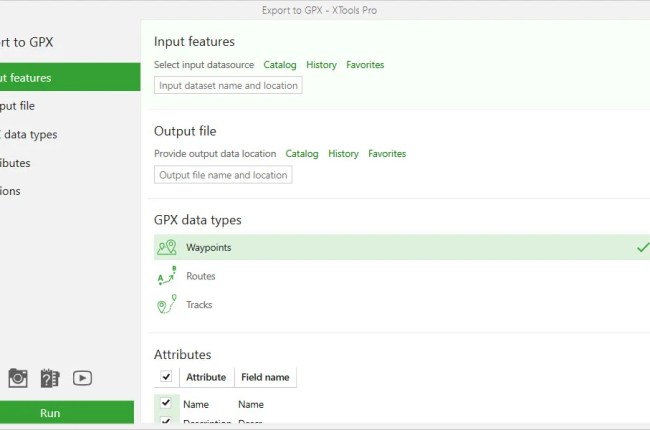
XTools Pro is an extensive addon for ArcMap. It’s a must-have extension for ArcGIS users. You know that ArcGIS is a complex GIS software with so many tools. But it still missing some features or…

Hello everyone, welcome to another QGIS Tutorial. In this article, we will learn how to split a vector file or layer using its attribute data. QGIS has a special tool called Split vector layer that…

The new version of ioGAS 7.3 is here. Usually, I install and use ioGAS on my Windows PC. But since now I have a Hackintosh system running macOS Catalina, I want to try to install…