

Micromine supports various GIS file-formats including Mapinfo Table (.tab) as well as Shapefiles (.shp). In this article, I am going to show you how to open the Mapinfo file in Micromine. You can either import…

In the following example, I am going to show you how to extract a vector layer by its attribute in QGIS. This method is very common for GIS. For example, we can easily extract contour…
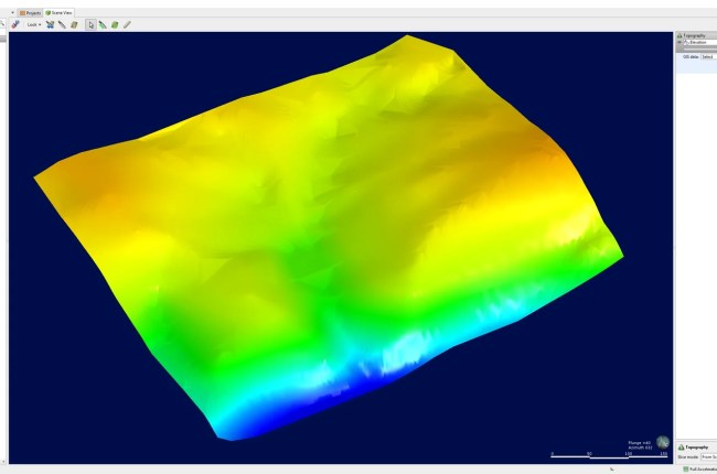
In the previous article, I have shown you how to create or import the elevation grid into Topography in Leapfrog Geo. And now, in this tutorial, I am going to show you how to create…

The new MapInfo Pro with Discover, it is possible to easily export Mapinfo table to other software such as LeapFrog Geo. Leapfrog software does not accept a Mapinfo table that has multiple geometries. First, you…