

Hello everyone, welcome to another Mapinfo Tutorial. In this article, we are going to learn about the Map Catalog. I will show how to create a Mapinfo Map Catalog using the Easy Loader tool. Mapinfo…
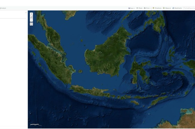
Hello everyone, welcome to ArcGIS Online Tutorial. In this article, we are going to show you how to start creating a new map using ArcGIS Online. As you might know, ArcGIS Online is a great…

SRTM Downloader is one of my favorite QGIS plugins. It has all the features I need to download the SRTM data from the internet. Before this 3.1.4 version, I got a very frustrating issue. I…

Welcome to another tutorial of Micromine. In this article, we are going to learn how to import Shapefile into Micromine. On my previous article, you can see how to directly display Shapefile in Micromine without…