Tag: DEM
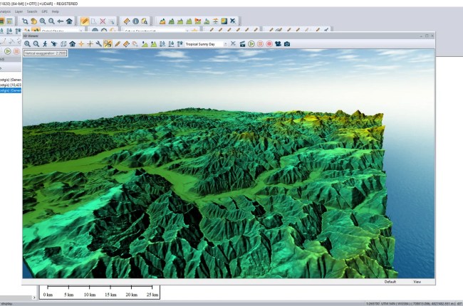
Welcome to Global Mapper Tutorial. In this article, we will show you how to create DEM using Global Mapper. We will generate the DEM (Digital Elevation Model) from a contour layer. Global Mapper is capable…

Welcome to MapInfo Professional tutorial for beginners. In this article, we will learn how to create DEM from points in MapInfo Pro. DEM (Digital Elevation Model) is a 3D computer graphics that is a representation…
In this tutorial, you will learn how to create DEM from point data in ArcMap. DEM (Digital Elevation Model) is a 3D computational model from the elevation. It is pretty easy to generate DEM from…