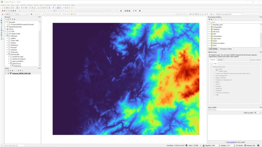
If you follow this blog, you might find some articles related to the surface grid. For example, in this article, you will learn how to create a surface grid from a point layer. But this time, we will reverse the step. We will get or assign the elevation to a point layer from the existing surface grid using QGIS. In the following example, I have an elevation grid (from SRTM data). You may read my previous article on how to create an elevation grid from SRTM data using Global Mapper.

Above is the DEM/elevation grid I originally made from SRTM. Now I will create a regular point layer.

As you can see, now I have the point layer on top of the elevation grid. This is just an empty point layer with no information in the attribute. Now we are going to populate this point layer with elevation value. We will get the elevation value from the elevation grid underneath.
In order to get or extract the elevation value from the surface grid, we will use a special tool called: Sample raster value. This tool will get the raster value on the point location.

Specify the input layer which is the point layer as well as the raster layer. We can also specify the output column. Hit Run to start the process.


Done.
