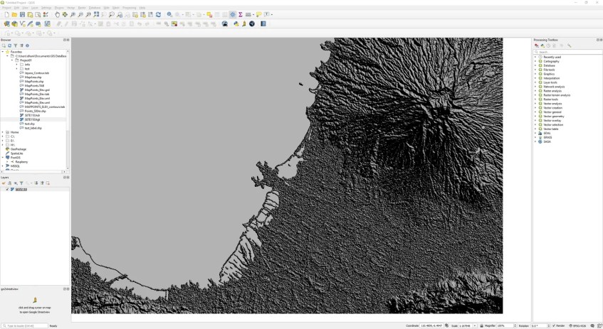
DEM or SRTM data is a topography model with elevation information in it. We can display this data in QGIS in various mode such as hillshade, multiband, singleband etc. In this article, we are going to focus on the Hillshade. When the DEM or SRTM data is rendered using hillshade, we will get the following look in QGIS.
QGIS supports several render types:
- Singleband grey
- Singleband pseudocolor
- Multiband color
- Hillshade


So let’s get started. First download and open the SRTM file to QGIS. You may follow this tutorial to download and open SRTM in QGIS. Next, right-click the DRTM layer and click Properties.

Click the Symbology tab and select Hillshade from the Render type. You can then specify other options such as altitude, Z factor and so on. Click OK. In a moment, your hillshade is ready.
