Hello everyone, welcome to another GIS tutorial. It’s been a while since the last article. I have been busy with my offline job. But I think I will bring some interesting things to this blog. I am going to write more about Retool. It’s a fantastic tool to build our own web application easily. But let’s save that for later. For now, I am going to show you how to create a raster from points in QGIS. So if you have a point layer with X, Y, and Z information in it, we can easily convert or create a raster out from it.
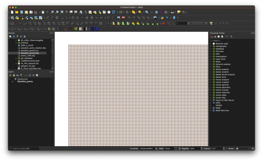
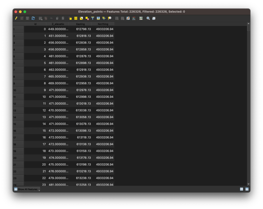
Below, I have a shapefile with points in it. It has the easting, northing, and elevation in the attribute table.
And here is the attribute table looks like
Now we will create a new raster file from that shapefile. In the end, we will have something like this

In order to create the raster, we need to use the tool called Rasterize (Vector to Raster). Go to Raster | Conversion | Rasterize.
Thanks for reading this on how to create a raster from points in QGIS. Until next time.


