
Hello everyone welcome to Global Mapper Tutorial. Today, we are going to show you how to generate contour from Online SRTM data on Global Mapper. On my previous tutorial, we have learned how to open online SRTM data on Global Mapper. When you need elevation contour for certain area, this online SRTM data can be an option. It’s very easy to create contour from this SRTM data on Global Mapper. SRTM is Shuttle Radar Topography Mission (SRTM), an international research effort that obtained digital elevation models. For more information about SRTM, we recommed you to read the Wiki.
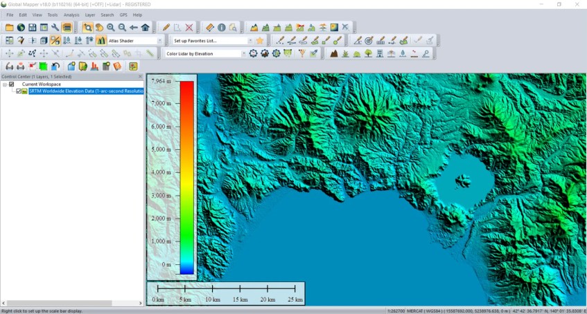
I am using Global Mapper 18 Full version. The new Global Mapper 19.0 is available but we haven’t update our installation. This version 18.0 is good enough to do this task. First, open the SRTM data on Global Mapper. Zoom to the area you want to create contour.
Once you open the SRTM, go to Analysis | Generate Contours (from Terrain Grid). The new window will open up.

On the Contour options, specify the contour interval, for example 5 meters. Also you can specify other options such as smooth contour etc. Next, go to Contour Bound tab. Here, you can draw a box to specify the area of interest to create contour. The larger area you draw, it will take more time.

Click OK and the process will started. Wait until the process is completed. Once completed, you will see the generated contours displayed on your screen. You can then export it as vector to another formats such as Tab, SHP, and so on.
[…] There are many ways to obtain a contour file. For example, in this tutorial, I am using Global Mapper to generate contour from SRTM online source. If you don’t have Global Mapper software, you can use QGIS to generate contour from […]