Leapfrog Geo 2022 was released a couple of weeks ago and today we are going to continue learning Leapfrog Geo. This article will show you how to import ESRI Geodatabase into Leapfrog Geo. The geodatabase is a spatial database developed by ESRI. There are various ways to bring spatial data into Leapfrog. We can import ESRI shapefiles into Leapfrog but if you have the spatial data in the geodatabase format, it will be a lot easier for you.
Rather than importing one by one, the geodatabase allows us to import multiple files at once. If there is an update to the file in the geodatabase, we can easily refresh our Leapfrog layers. This method only works for polygons, polylines, and points. We cannot use geodatabase for images or raster files.
Steps to Import Geodatabase into Leapfrog Geo
I assume you already have an ESRI geodatabase that contains your spatial data. Now let’s open Leapfrog Geo. FYI, I am using Leapfrog Geo version 2022.1 which is the current version when I wrote this article. Next, right-click the GIS Data, Maps, and Photos | Batch Import | ESRI Geodatabase. Then, browse your gdb file.

The geodatabase (.gdb) file is recognized as a folder in Windows explorer instead of a file. Click Select Folder and then you should see the content of the geodatabase as shown below.

Select the layers that we want to import. We can select multiple layers at once. Hit OK when ready.

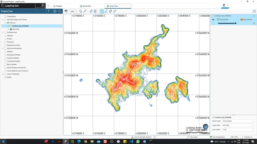
Now your new layers should be ready and can be seen under the GIS Data, Maps and Photos section.
How to Reload the Geodatabase Data
In case you have an update for your layers in the geodatabase, you can easily update or reload the layers we have imported. Simply right-click on the geodatabase layer in Leapfrog and then click Reload Data. You will need to select the same geodatabase and then hit OK.

That’s it. I hope this how to import ESRI Geodatabase to Leapfrog Geo can help you to better manage your spatial data.
