Skip to the content

Free GIS Tutorial

Free GIS Tutorial

MapInfo Tutorial – Create a Surface Grid from Points

Hello everyone, welcome to my GIS Tutorial website. In this article, we are going to show you how to create a surface grid from points in MapInfo Professional. In order to use the surface grid…

April 1, 2019 By admin 2

How to Open Bing Aerial Image on MapInfo Professional

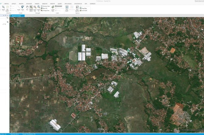
Hello everyone, today I am very excited to introduce you with my new Datamine Discover 2017, or you can simply call it MapInfo Pro. It is the 64 bit edition on Datamine Discover. It is…

March 29, 2019 By admin 0

How to Download High Resolution Google Satellite Imagery using Universal Maps Downloader

Hello everyone, welcome to another GIS Tutorial for Beginners. In this article, we will show you how to download high resolution Google satellite imagery. We are going to use a special software called Universal Maps…

March 29, 2019 By admin 0

How to Clip Layer with Polygon on Mapinfo Professional

Hello everyone, welcome to another Mapinfo Tutorial for beginners. In this article, we are going to learn how to clip a MapInfo layer with a polygon. In some cases, you may need to cut or…

March 20, 2019 By admin 1

Posts pagination

Previous 1 … 65 66 67 … 97 Next

Category

  • ArcGIS
  • Database
  • Free Spatial Data
  • General
  • Geoserver
  • GIS Software
  • Global Mapper
  • Leapfrog Geo
  • Linux
  • macOS
  • Mapinfo
  • Micromine
  • Oracle
  • Programming
  • QGIS
  • Software Review
  • Surfer
  • Uncategorized
Created with Envo Royal WordPress theme