
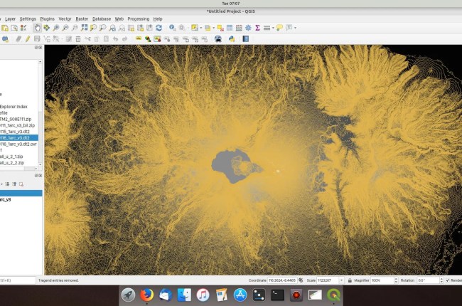
Hi, welcome to another QGIS tutorial. On this article, I am going to show you how to generate contours from SRTM data in QGIS. On my previous tutorial, you can learn how to download SRTM…

Hi, welcome to QGIS Tutorial for beginners. Today, we are going to learn how to export a map to GeoTiff Image on QGIS. I am using QGIS version 3.4.1 on this tutorial but this tutorial…

The Shuttle Radar Topography Mission (SRTM) is an international research to obtain the Digital Elevation Model (DEM) of the earth. It provides or generates a global scale of high-resolution digital topography database. If you are…

Hello everyone, welcome to my GIS website. QGIS is an extensible GIS software. We can add more features and functionality to QGIS by installing some Python plugins. These plugins are available from the online repository.…