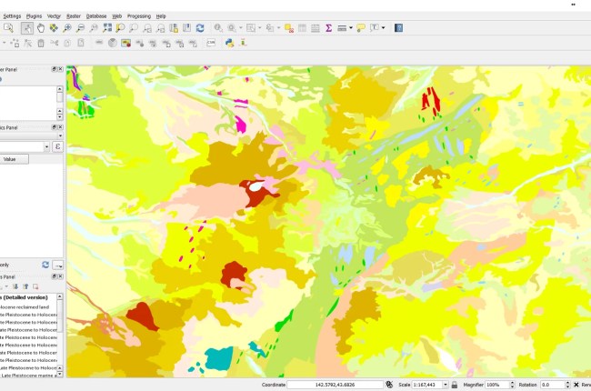
WMTS (Web Map Tile Service) is an online service where we can get some specific data from the online data provider. To learn more about WMTS, please visit this page. Most modern GIS software support…
Micromine supports various file types. It also supports external GIS data sources such as Mapinfo, ESRI Shapefile, Google Earth KML and many more. As a part of our Micromine tutorial, we will show you how…
Micromine supports both native and external data source. On this tutorial, I am going to show you how to create new file on Micromine. Micromine supports several types of files: data, string, macro, lookup. I…
Hello everyone, welcome to Micromine Tutorial. Today we are going to learn about the user interface of Micromine. I am using Micromine version 14.0 (Year 2013). Yes, I know it’s a bit outdated but it…


