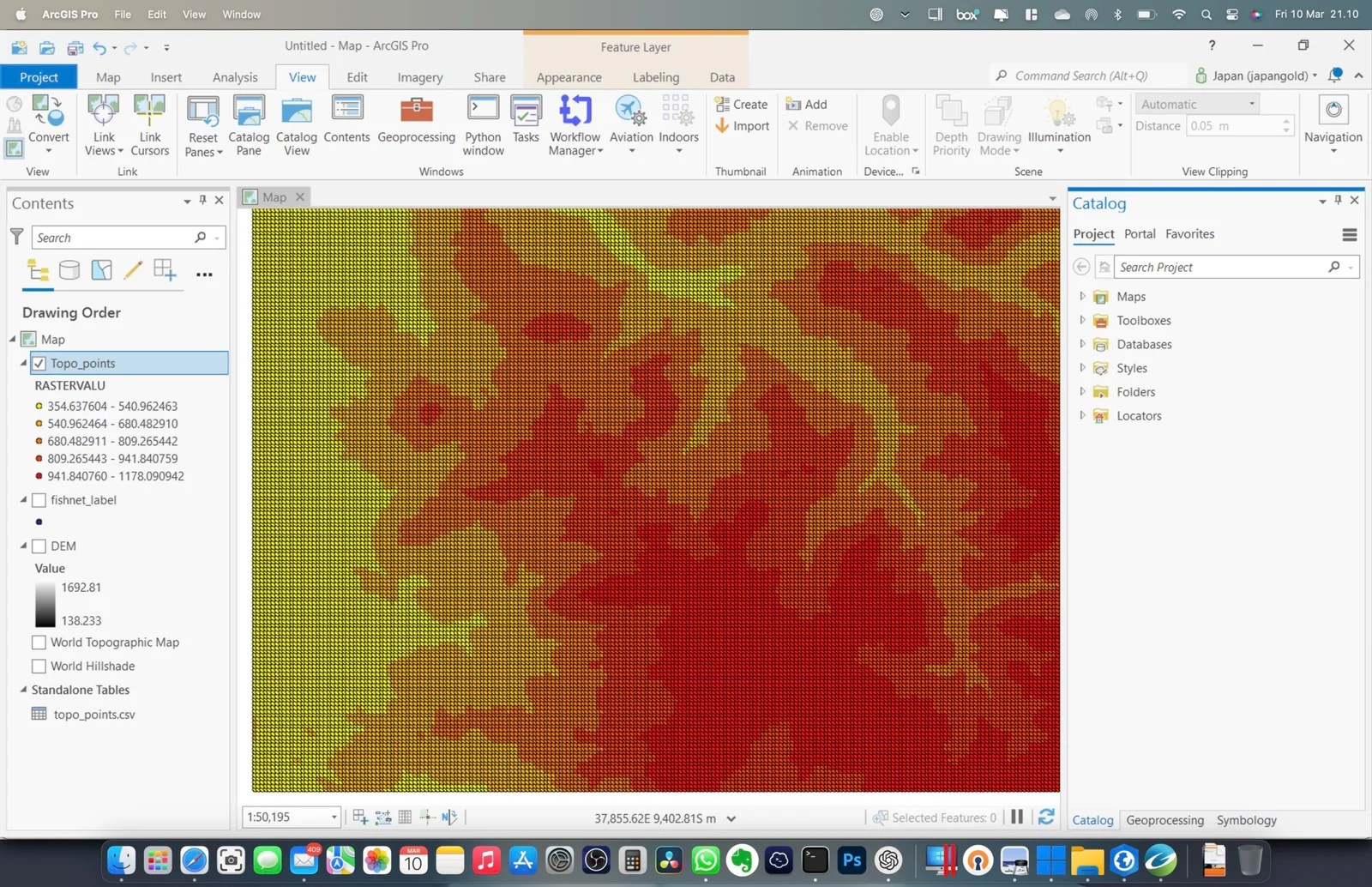
Raster data is a crucial component in geographic information systems (GIS) and can provide valuable information to support decision-making processes. In some cases, however, it can be challenging to extract raster values to point layers. In this blog post, we will explore how to extract raster values to a point layer in ArcGIS Pro, a popular GIS software.
ArcGIS Pro provides several tools to extract raster values to point layers, including the Extract Multi Values to Points tool and the Add Raster Attributes to Points tool. In this post, we will focus on the Extract Multi Values to Points tool, which allows you to extract raster values to a point layer based on their spatial location.
Steps to Extract Raster Value to Point Layer in ArcGIS Pro
Step 1. Add your raster and point layers to ArcGIS Pro
Step 2. Open the Extract Multi Values to Points tool. You can do this by navigating to the Geoprocessing pane and searching for “Extract Multi Values to Points”
Step 3. In the Extract Multi Values to Points tool, select your point layer as the Input Point Features and your raster layer as the Input Raster.
Step 4. Choose the point feature and the input raster to the geoprocessing tool Extract Values to Points. In this example, I use the DEM raster.

Specify the output point feature and then click Run. This process will produce a new point feature with a new column, RASTERVALU. And then, we can play with the symbology if we want.

n conclusion, extracting raster values to a point layer in ArcGIS Pro is a relatively simple process using the Extract Multi Values to Points tool. This tool can be an effective way to extract raster values to support decision-making processes in various fields, including natural resource management, urban planning, and emergency management.
